Day 15
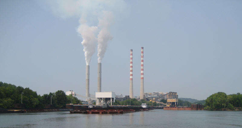
Ah, what a lovely power plant. The cruising guide notes that the taller stacks are no longer used and that the lower ones scrub the emissions.
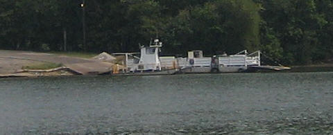
No bridge here, so take the ferry from this side...
...to this side.
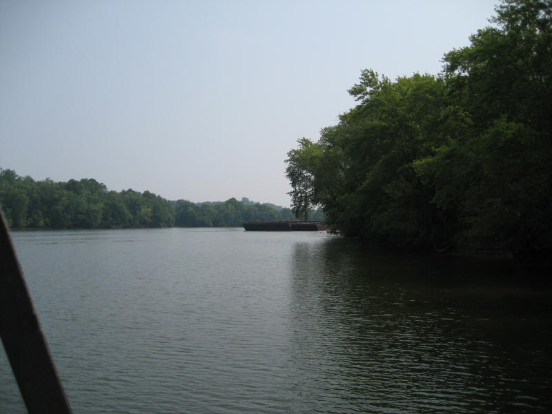
Just passing through...
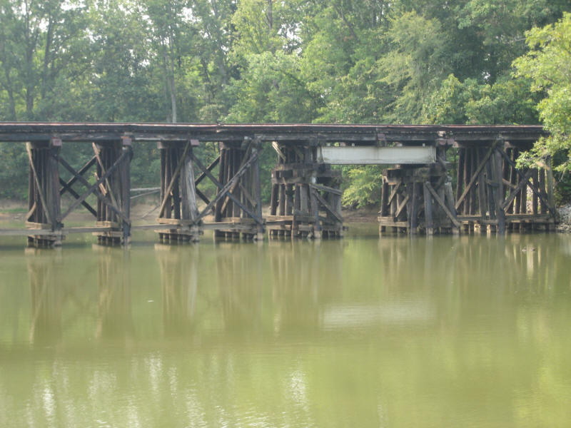
We were going up a creek looking for a camping spot and found a RR bridge that was a bit to low for us.
Here's why you don't speed around blind corners.
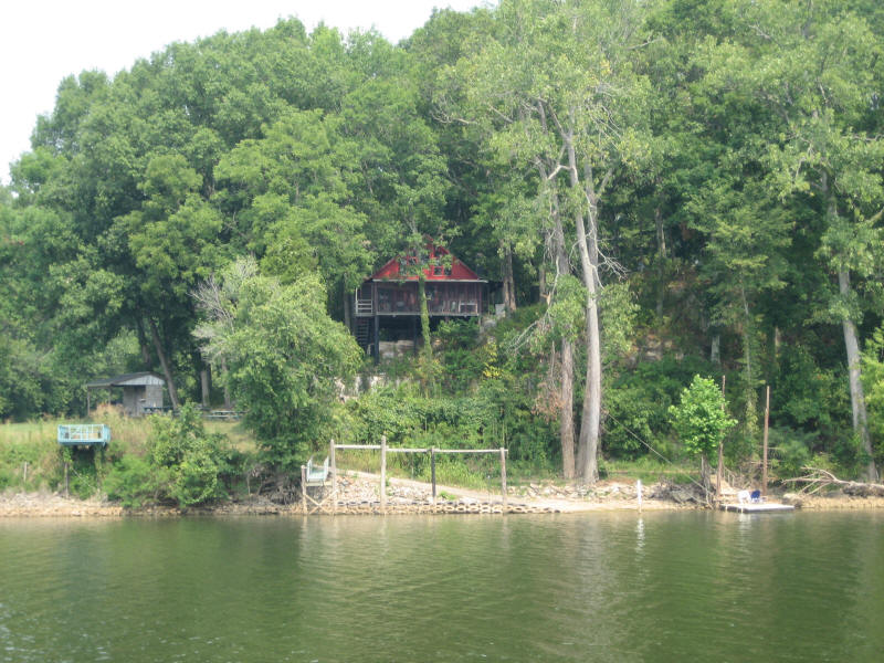
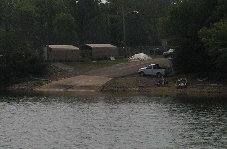
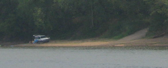
I think this person has the right idea: boat ramp, dock, easy walk to the river and no huge mortgage.
About mile CU-113 we were noticing that the railroad tracks seem to be on tenuous ground...
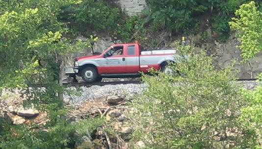
Then we saw the track inspector cruising the tracks at about the same speed we were going: 15MPH.
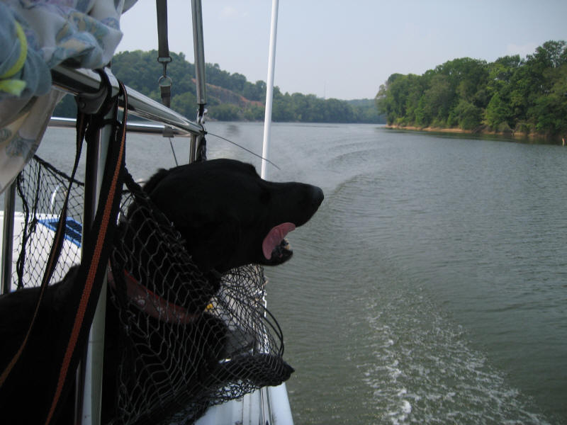
I think I smell steak on the barbie somewhere. Let me at it! Now you see why the net is there.
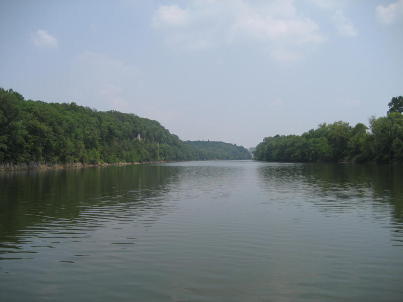
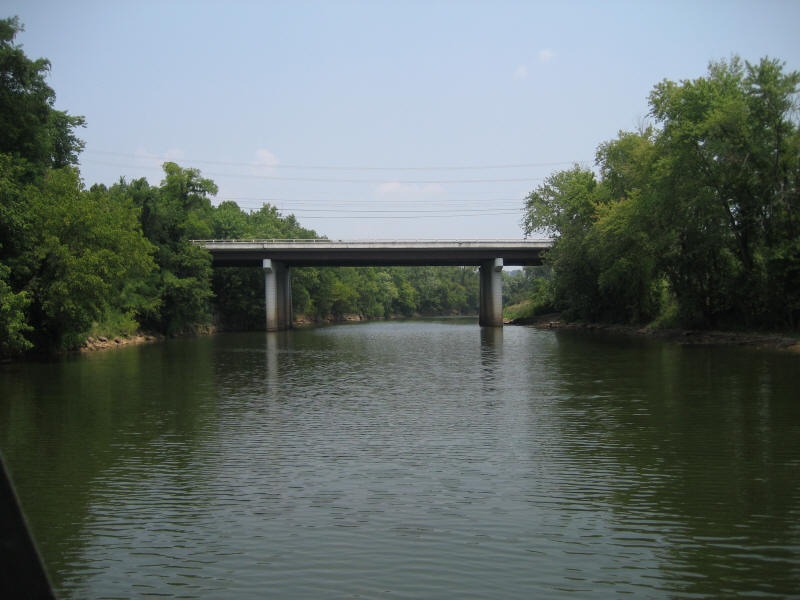
Now the river really narrows down. This is near CU-119.
Loaded up and ready to go.
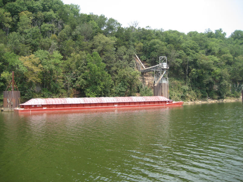
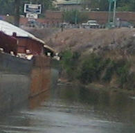
This is Red River, which looked great from Google Earth as a possible place for access to a town and overnight. It turns out that it's basically a canal for a quarry a bit farther down. There are no businesses geared for boaters on this river yet this is a big town.
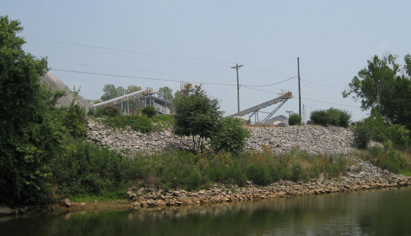
Here's the quarry.
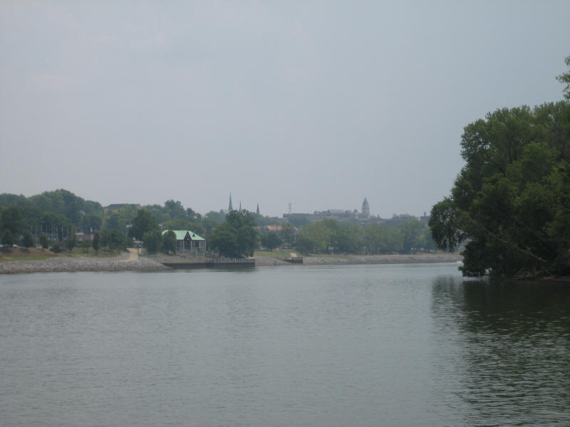
This is McGregor park in downtown Clarksville, which is not really set up for docking at the area where people hang out nor is it set up for swimming.
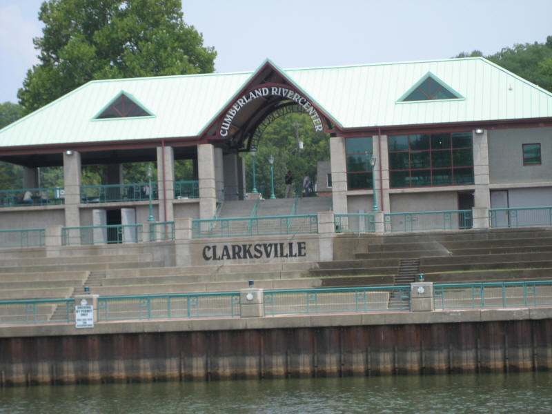
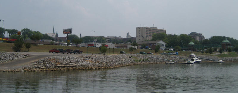
There are docks near the ramp parking lot.
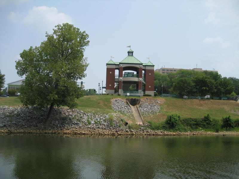
Nice pedestrian bridge, but no easy way for boaters to get to it.
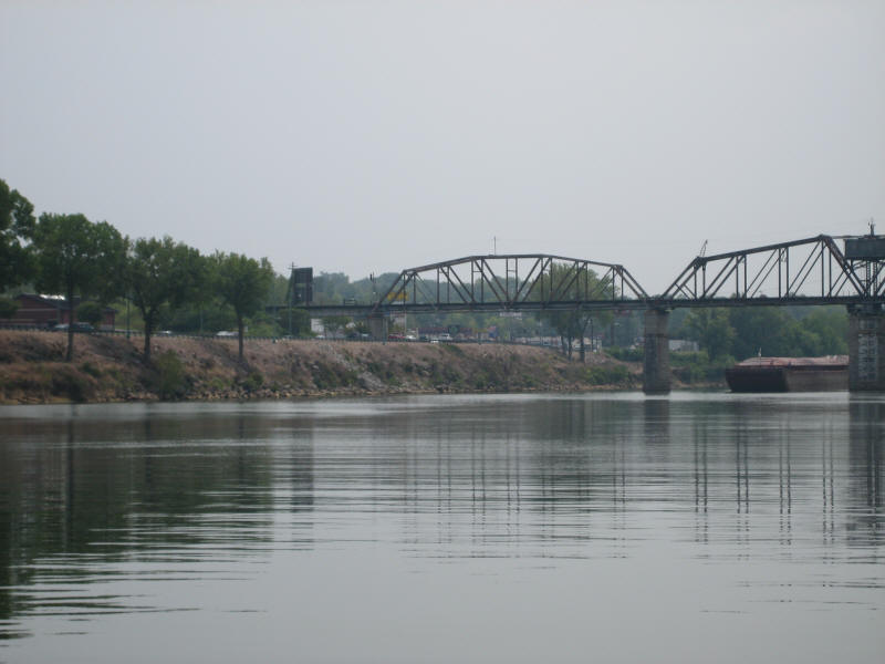
Remember the nice wide channel you saw earlier? The channel here is between the two supports that has the barge in the middle and the river has a moderately sharp curve here. No room for us.
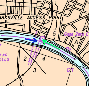
The barge (green) is already along the right bank and can't make the turn and we (blue) are waiting to go upstream...
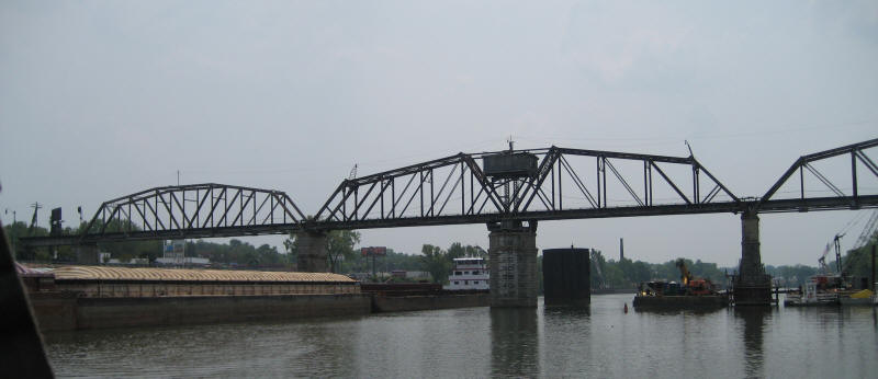
Now you see why we can't pass on the right: construction and we don't know if there are any cables just under the surface. We HAVE to go around to the left of that center support.
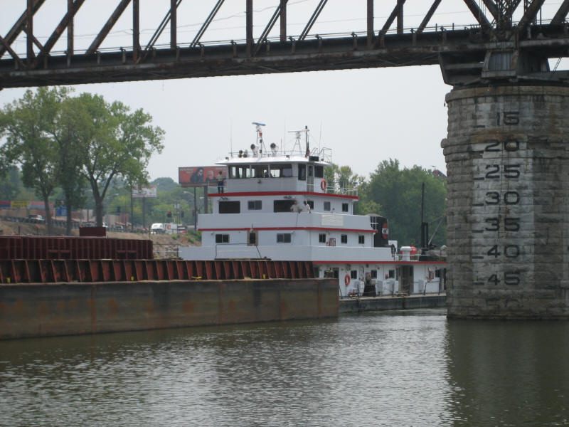
He is almost stopped at this point...
See how he pointing at the bank?
Somehow he manages to get through...
Look at the clearance from the bank. Fortunately, this barge appears to be empty (see water lines on the side).
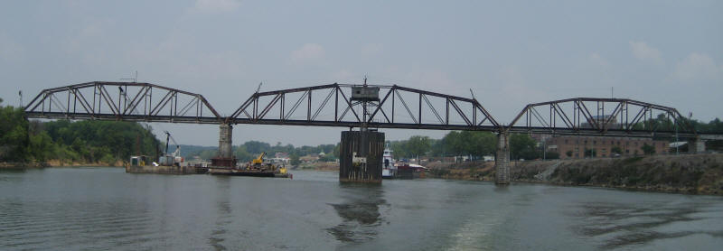
We won't forget that bridge for a while.
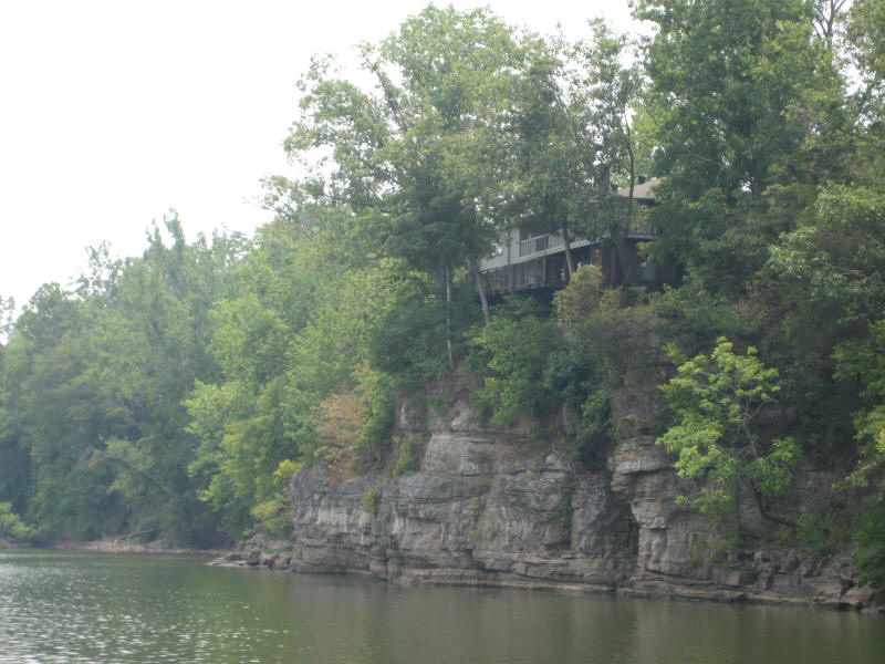
Nice view from up there.
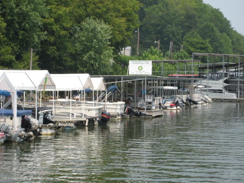
Here we are at Yacht Harbor marina, 80 miles from Bumpus Mills, for some more gas. This marina is right on the river and it's narrow. The no-wake zone is not marked from downstream but once you're past it all you'll see the upstream is marked. This is an example of a need to mark the no wake zones, as not all know about the Tennessee law to slow down within 300' of a marina.
This is Tennessee's equivalent to Daytona's drive-on beach.
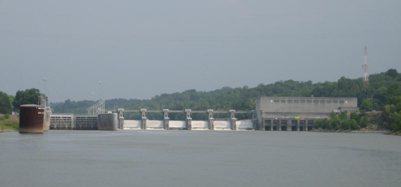
Approaching Cheatham lock and dam we notice some very strong currents. The lockmaster recommends that we stay close to the lock wall on the left.
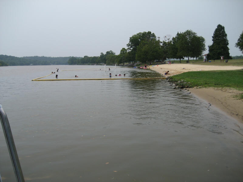
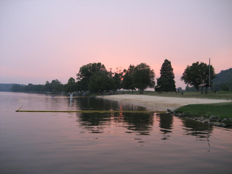
CU-149.5 Cheatham Dam Access area - a real beach! This is Scooby nirvana: beach, kids and grass! No electric, but there appear to be some transient connections 400' or so up the river. The only downside is that it's unprotected, but the boat is taking the wakes from the back and that's not too bad. There were few large pleasurecraft where manual boat handling was needed. All was quiet at night. Note the designated beach for humans and we're at the all-other beach.
It's a huge beautiful park with nice fine-grain sand. Real sand, not gravel.
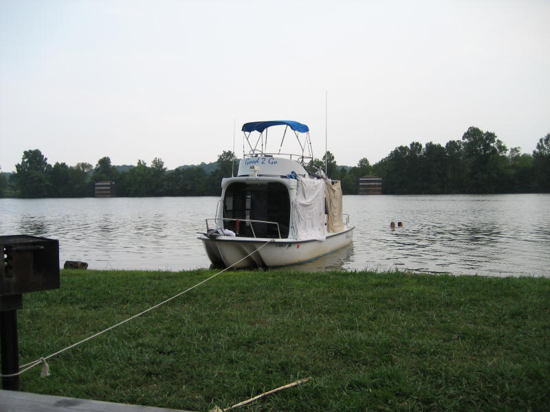
No, that's not dirty laundry. The sheets keep the sun from heating up the cabin.
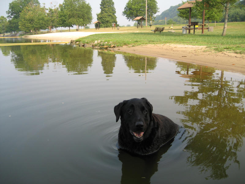
Hey, where did the kids go?
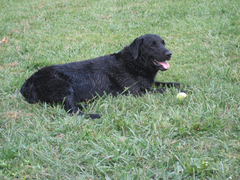
Drying off in the grass after chasing the ball in the water. It just doesn't get any better. Until dinner.
OK, it does get better.
Next: Day 16 - CU-175.3 Rock Harbor Marina (near Nashville)
All photos and text Copyright 2007 Paul Kempter, except for the charts which are Army Corps and Google Earth pictures. They contain watermarks. Please give credit if you copy to your personal non-profit web site. High resolution copies of the photos are available for licensing (usually free to non-profit organizations).